 |
 |
Caminatas - Ascensión Volcán Quetrupillán |
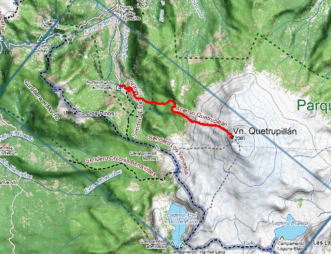
Mapa del sector, detalle tomado del mapa Aonek'er Vn. Villarrica y Vn.
Quetrupillán 1:100.000
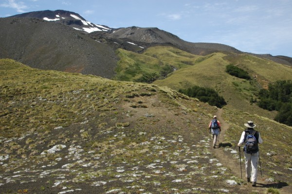
Dejando el bosque atrás por fin se distingue la meta de la excursión
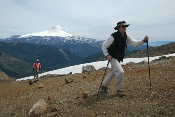
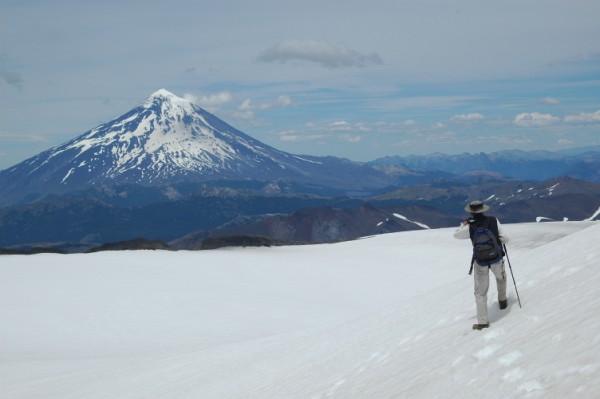
Acercándose a la cumbre, con el Volcán Villarrica a espaldas
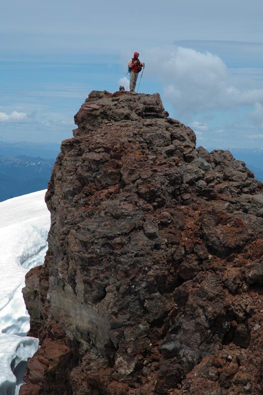
El punto más alto del Quetrupillán es este picacho, parte
del borde del crater
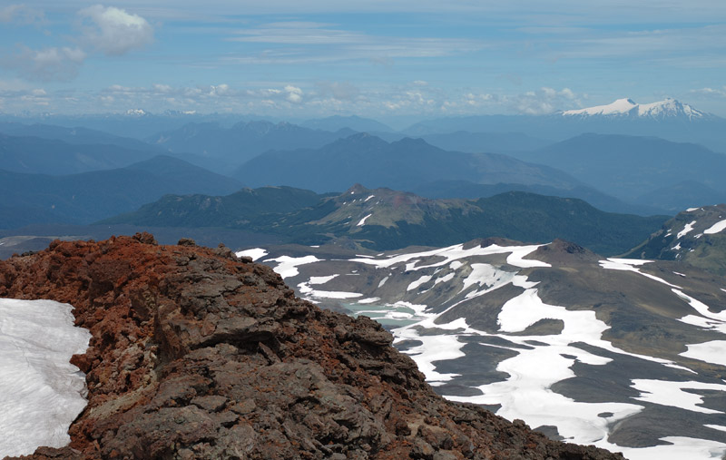
Vista hacia el sur, con el Volcán Mocho-Choshuenco
El cráter está cubierto de hielo y nieve, al fondo el Vn.
Lanín
Para cualquier consulta, por favor contáctenos:
TravelAid · Ansorena 425 local 4 · Pucón · Chile · Fonofax (56) (45) 44 40 40 · info@travelaid.cl